NATIX is a project that has described a crowdsourced camera-data network for map and Physical-AI use cases. A careful answer to “what is natix crypto” separates the project’s published architecture, its changing product status, and the $NATIX label; it does not turn a design description into a promise about imagery, location information, privacy, or a live service.
What Is NATIX?
NATIX is the name used in the project’s official materials for a decentralized physical-infrastructure approach to geospatial and visual data. Its earlier whitepaper describes a Decentralized Dynamic Map, or DDMap, assembled from observations associated with camera-equipped devices. More recent project material frames the work around multi-camera data and Physical AI. Those are related narratives, but they are not interchangeable descriptions of every current product.
The useful starting point is therefore architectural. NATIX presents a way to connect distributed observation, software interpretation, and data products rather than a single map that is complete everywhere. A map-related data network can describe where a signal was observed, what a model classified, and how that information was organized; it cannot by that fact establish that every observation is accurate, current, or appropriate for a particular decision.
Questions phrased as “natix crypto” or “natix tokenomics and use cases” often combine several separate issues. This profile keeps them separate: what the project has documented about its system, what its current product communications say, and what must still be verified for the $NATIX token and a matching network record. It is an educational explanation, not a participation guide or a statement about external services.
The Problem NATIX Tries To Frame
Road conditions, parking availability, temporary obstacles, and other spatial signals can change faster than a conventional map layer. Gathering fresh observations at broad coverage is difficult because cameras, software, connectivity, review methods, and data rights all introduce constraints. NATIX’s published framing is that already-distributed cameras can become inputs to a shared spatial-data system when their outputs are interpreted and organized.
That framing distinguishes a physical observation from the context attached to it. A visual scene may be ambiguous; a location can be imprecise; and a model’s label is only as useful as the model, timestamp, and surrounding conditions allow. The value of a data network is not merely that it has more signals. It is also whether readers can understand the provenance, transformation, and limits of a signal.
Decentralization does not remove those questions. It can describe how participation and records are distributed, while data quality, access conditions, technical design, and responsibility remain separate matters. NATIX’s documented concept is best read as a proposal for coordinating distributed observation and data products, not as a blanket assurance about coverage, correctness, safety, or availability.
Imagery, Location, and Metadata
NATIX’s older technical material describes computer-vision processing at the edge and the conversion of visual input into metadata for the network. In that description, metadata can represent detected events and their spatial context rather than functioning as a copy of a full visual scene. This helps explain why imagery, location, and model output are distinct layers in the project’s vocabulary.
That technical description has a narrow scope. It should not be expanded into a categorical assertion about all images, all devices, all product versions, or every kind of information that may be associated with a deployment. The project’s current public notices and terms, together with the actual product context, are the relevant materials for any statement about current handling of imagery or location-related material.
Privacy is therefore a design and review question rather than a label that settles the issue. Model behavior, identifiers, retention, access controls, product changes, and context can all matter. This article does not claim a legal outcome, a universal privacy property, or any particular treatment of individual information; it only identifies the boundary between a published mechanism and a current factual question.
What Does NATIX Do in the System?
$NATIX is the ticker used by the project’s official token material. That material identifies the token with the Solana network and describes it as part of the project’s ecosystem design. In an educational profile, the relevant point is that a ticker is a label for a documented system role; it is not evidence that an unrelated page, interface, or chain record is authentic.
The project’s historic token documentation discusses utility and governance-oriented functions in the network’s economic design. A functional description should remain narrower than a numerical prediction or a statement of live parameters. Supply information, distribution schedules, program rules, reported totals, and any relationship between a token and a currently available product are all time-sensitive claims that require their own current evidence.
NATIX is also not a substitute for a record identifier. Similar names can be repeated or imitated, and a truncated string can conceal important differences. If a network-specific token record matters, the official token page, the stated chain, and a matching read-only chain record must agree. The full mint or equivalent identifier is deliberately treated as a publication-day check rather than copied into this overview.
NATIX Ecosystem and Current Status
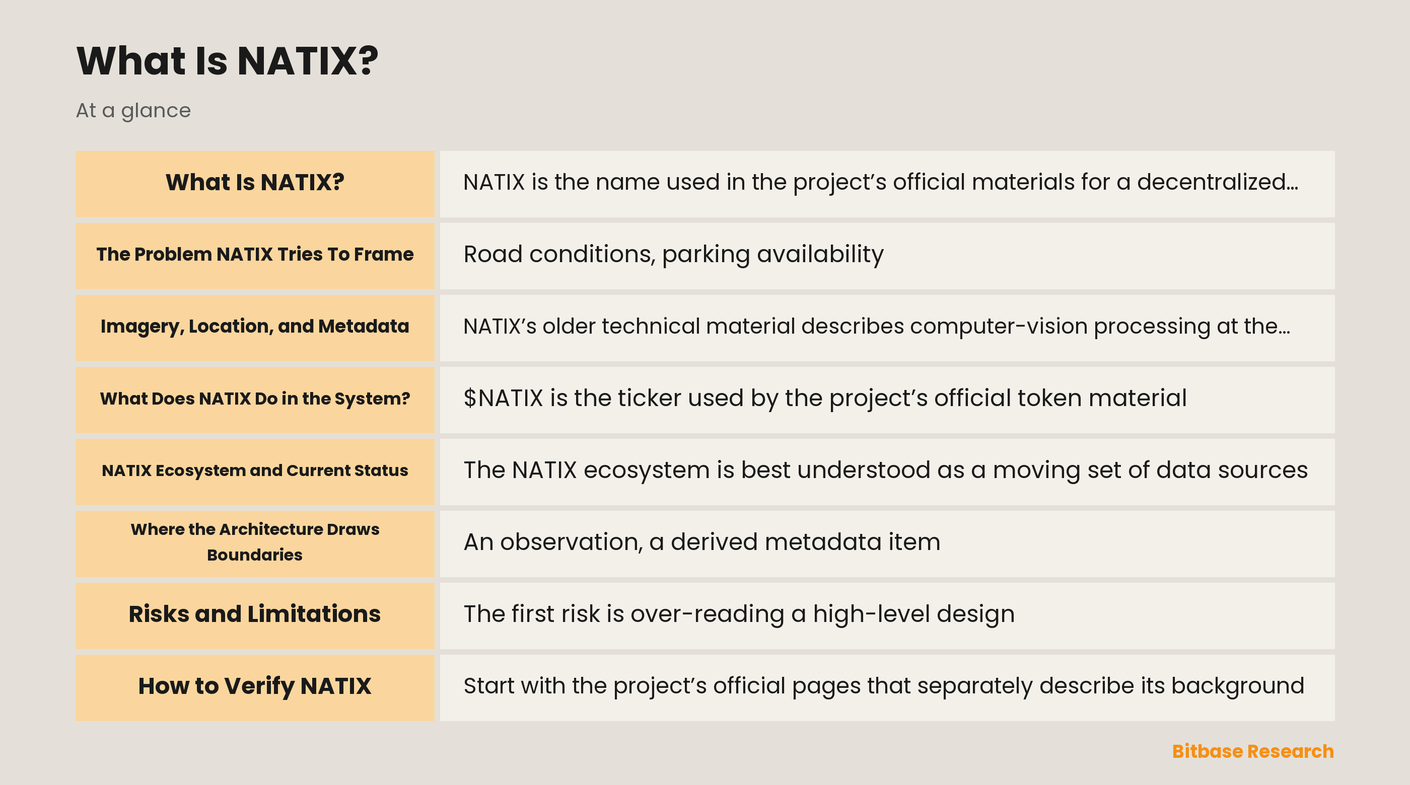
The NATIX ecosystem is best understood as a moving set of data sources, interpretation layers, products, and project communications. Earlier materials emphasize a crowdsourced dynamic-map thesis. The project’s 2026 public updates describe a shift of emphasis toward VX360 and multi-camera data for Physical AI, while also announcing a sunset timetable for the Drive& application. Those statements show why old map-focused descriptions must not be presented as a complete account of the current product state.
Product availability, geographic scope, device support, feature names, program terms, and network activity can change independently. The current status of Drive&, VX360, or any related data product must therefore be confirmed from a publication-date official source. This article names the transition as a documented project development, not as a claim that a given product, feature, or service remains available at the time a reader encounters the article.
Where the Architecture Draws Boundaries
An observation, a derived metadata item, a map layer, and a commercial or research data product are not the same thing. Each stage may use different software, rules, or review processes. Keeping these layers distinct makes it easier to ask a precise question: is a statement about a visual event, a location estimate, a model classification, a published map feature, or a later product built from selected data?
The same distinction applies to the project’s historical and current materials. A whitepaper can document the intended role of a DDMap, while a later update can describe a change in product focus. Neither source alone proves the present state of all related components. A reliable profile records what each source actually supports and marks the parts that must be renewed rather than filling gaps with a broad “network” claim.
Risks and Limitations
The first risk is over-reading a high-level design. Distributed imagery and metadata can still have gaps in coverage, uneven collection conditions, incorrect classifications, delayed updates, duplication, or context that a model cannot infer. A data point can be technically produced yet remain insufficient for a safety, mobility, research, or business conclusion without further assessment.
There are also product and identity risks. Project messaging, software releases, data policies, token roles, chain records, and availability can change. A name and ticker do not authenticate a channel, and an old announcement does not establish the current state of a service. Readers should treat unverified screenshots, reposts, and numerical claims as unconfirmed until they match current primary material.
How to Verify NATIX
Start with the project’s official pages that separately describe its background, its technical map-data concept, current product updates, token information, and public privacy notice. Check the publication context and date of each source. In particular, distinguish a historical explanation of edge metadata from a current statement about VX360 or another product, and distinguish a stated roadmap from an already confirmed operational status.
For the asset label, confirm that current official material still identifies the ticker as NATIX and names Solana as the relevant chain. If a full identifier is published by the project, compare it read-only with the matching Solana block explorer and make sure the network context agrees. Do not infer a contract address or mint from a name, a cropped image, or an unaffiliated summary.
Conclusion
NATIX is most usefully described as a project that has connected crowdsourced camera observations, spatial metadata, and decentralized-infrastructure ideas. Its published history includes a dynamic-map concept and, later, a stated focus on multi-camera data for Physical AI. The connection between those stages is informative, but neither stage eliminates the need to verify current product facts.
$NATIX is the official ticker associated with the project’s Solana-based token materials, while the exact chain record and token details remain items to recheck at publication. The prudent conclusion is to separate technical design from current operations, and to treat imagery, location, privacy, and product status as bounded questions supported by the appropriate current primary source.
Related market pages
- NATIX: View price
Disclaimer: This article is educational content from Bitbase Academy, provided for information only. It explains what a project does and what role its token plays in that system; it does not constitute investment, trading, tax, or financial advice, and it is neither a recommendation nor an endorsement of any project or token. Bitbase has not carried out due diligence on the project described here, and mentioning it does not mean Bitbase lists or supports the asset. Crypto assets carry significant risk, including price volatility, thin liquidity, smart-contract failure, regulatory uncertainty, and the possible loss of their entire value. Written as of August 2026; a project's status, tokenomics, team, and contracts can change at any time. Verify everything yourself through official channels, the contract address, and a block explorer, and beware of imitation sites and phishing links.
References
[1] NATIX Network About (official) www.natix.network
[2] NATIX privacy-compliant metadata mining whitepaper section (official) docs.natix.network
[3] NATIX system overview whitepaper section (official) docs.natix.network
[4] NATIX token information (official) www.natix.network
[5] NATIX Drive& sunset announcement (official) www.natix.network
[6] NATIX public privacy notice for VX360 (official) docs.natix.network